
Guide
FPV drone tours for land listings
An FPV drone tour is one continuous flight from the gate to the stand. It shows how a property connects, and it needs a visual observer under FAA rules.
By Jordan Johnson, Founder, Kedron Co.Updated 8 min read
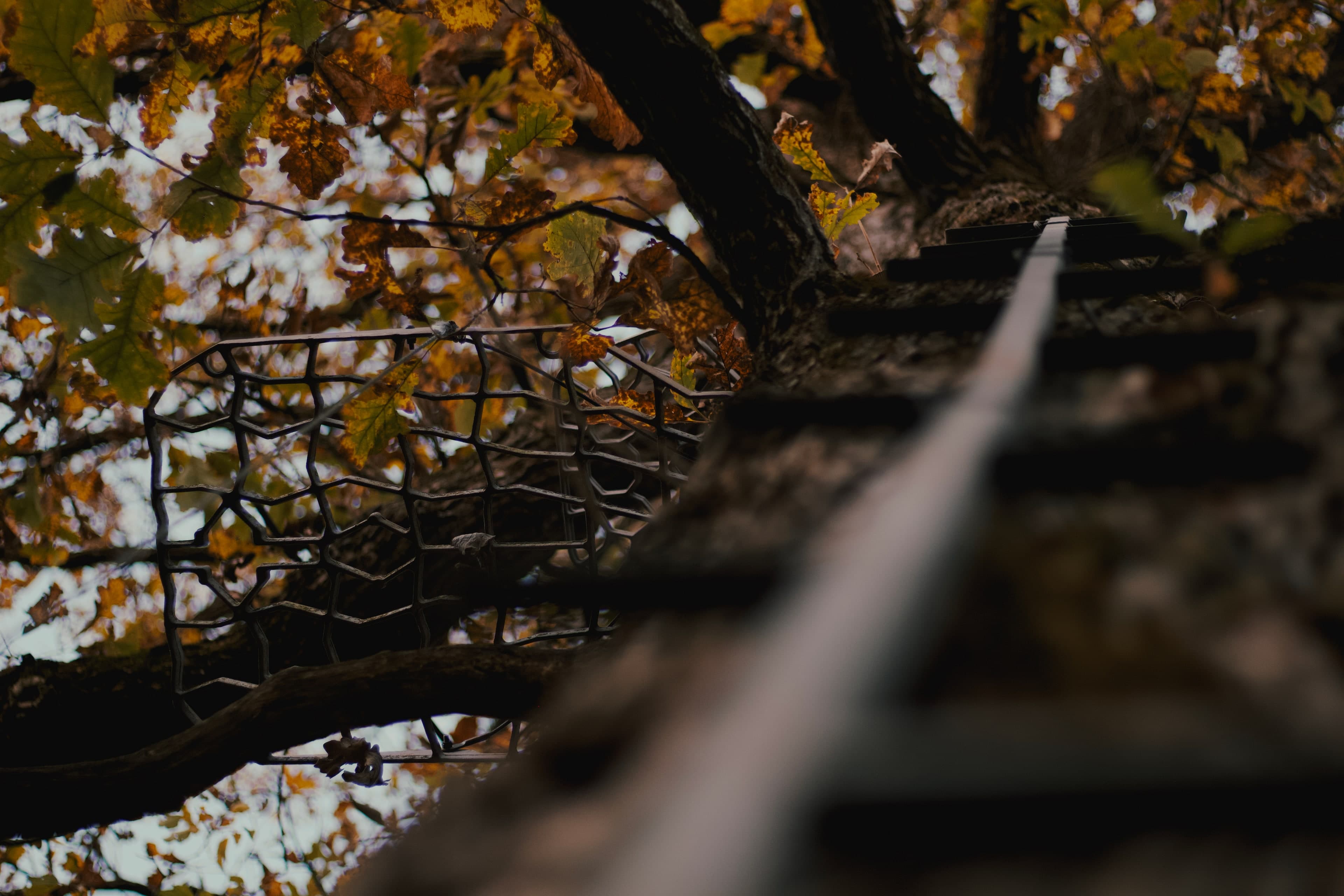
An FPV drone tour is one continuous flight through a property, flown low by a pilot wearing goggles that show the drone's camera live. It beats a standard aerial when a buyer needs to see how the pieces connect: the gate to the field road, the field edge to the ridge, the ridge to the stand, the stand to the creek.
Most FPV tours made for real estate fly through houses. Land is a better fit for the format than a kitchen is. This guide covers when FPV earns its place on a land listing, what to show on hunting ground, and the rules that make an FPV shoot different from a standard drone flight. More on the topic is under marketing land.
What is an FPV drone tour?
FPV stands for first-person view. The pilot wears goggles that show a live feed from the drone's camera and flies as if sitting in it. Flown by hand through goggles, an FPV drone can do what a standard camera drone does poorly: stay a few feet off the ground, follow a trail under the canopy, bank along a ridge, and cross a creek bottom without a cut.
The result is a single take that moves at the speed of a walk or a drive. A buyer watching it gets distance and sequence: how far the stand is from the parking spot, what's between them, and what the ground does along the way.
When does FPV beat a standard aerial?
Each tool answers different questions. Match the shot to the question.
| The buyer's question | Best tool |
|---|---|
| Where are the boundaries? How are the acres split? | Standard aerial, top-down |
| What's around it: roads, neighbors, public land? | Standard aerial, high context shot |
| How do I get from the road to the back of the property? | FPV |
| How far is the stand from where I park, and what's in between? | FPV |
| What's it like inside the timber? | FPV under the canopy, or ground video |
| How does the ridge fall off to the creek? | FPV, or a 3D model |
| What does the building site look like from every side? | Standard aerial orbit |
On a flat, square quarter of tillable, FPV adds little. The buyer already understands the ground from a top-down shot. On rolling hunting ground, a Driftless ridge-and-coulee parcel or a Northwoods 40 with a creek, the route is the property, and FPV is the shot that shows it.
What should an FPV tour show on hunting land?
Plan the flight like a scouting walk. We'd fly the route in this order:
- The road and the entrance. Start over the public road so the buyer knows where they are, then drop through the gate.
- The field road or trail. Follow it in, low, at a steady speed. This is the access answer.
- The field edge. Run the edge where tillable or a food plot meets timber, where deer come out.
- Into the timber. Follow the main trail under the canopy.
- The terrain feature. The bench, the saddle, the point of the ridge, the inside corner.
- The stand site. Arrive where a hunter would sit, and hold the view a hunter would have.
- Water. Drop to the creek or pond.
- Out to the edge. Finish looking back across the property, or up and out to show what borders it.
Skip the bedding itself. Run along its edge and mark it on the map. Flying through a bedding area disturbs the deer the seller is still hunting, and a buyer doesn't need to see inside it to understand where it is.
Keep the final cut short. A buyer should be able to watch the whole route in a few minutes, then watch it again.
Why do FPV flights need a visual observer?
An FPV flight for a listing is a Part 107 flight like any other listing shoot. The FAA lists "taking photos to help sell a property" as non-recreational flying (FAA, Recreational Flyers). What changes is line of sight.
Part 107 requires that the drone be seen throughout the flight with vision unaided by any device other than corrective lenses (14 CFR 107.31). The FAA's guidance on Part 107 is direct: "First person view devices may be used during operations, but do not satisfy the VLOS requirement" (FAA Advisory Circular 107-2A, section 5.9.1).
Part 107 allows line of sight to be kept either by the pilot or by a visual observer (107.31(b)). With the pilot in goggles, that means a visual observer. The rules for the observer (14 CFR 107.33):
- The pilot in command, the person at the controls and the observer "must maintain effective communication with each other at all times."
- The observer must be able to see the drone the way 107.31 requires: with their own eyes.
- The crew must coordinate to scan the airspace for collision hazards and keep track of the drone "through direct visual observation."
On land, this is where the plan matters. Timber, ridges and creek bottoms break sight lines. An observer standing at the gate can't see a drone under the canopy a quarter mile back. The answer is to plan the route around what the observer can see: fly in segments, move the observer between flights, and join the segments in the edit. Leaf-off timber is easier than full summer canopy, and open hardwoods are easier than a pine plantation.
Remote ID and registration for FPV drones
A small FPV drone gets no exemption for its size. The FAA's registration exception for drones of 0.55 pounds or less applies only to limited recreational flying (FAA, Register Your Drone). A drone flown for a listing must be registered, and a drone that requires registration must broadcast Remote ID (FAA, Part 107).
There are two ways to broadcast outside an FAA-recognized identification area: a drone with Remote ID built in, or an add-on broadcast module (FAA, Remote ID). The distinction matters for FPV. When a broadcast module is used, "the person manipulating the flight controls of the unmanned aircraft system must be able to see the unmanned aircraft at all times throughout the operation" (14 CFR 89.115). A pilot in goggles can't. The rule for drones with built-in Remote ID has no such condition (14 CFR 89.110). Ask any FPV pilot you hire how their drone complies, and expect a clear answer.
Other rules that come up on an FPV land shoot
- People. No flying over people unless they're directly participating, under a covered structure or inside a stationary vehicle, or the operation meets Part 107's Subpart D (14 CFR 107.39). The seller who wants to watch stands with the crew, not on the route.
- Altitude and airspace. The same 400-foot limit and controlled-airspace authorization apply as for any drone. Details are in drone photography for land listings.
- Dusk. Flying in civil twilight requires anti-collision lighting visible for 3 statute miles (14 CFR 107.29).
- Hunting season. Wisconsin's statute on interference with hunting covers using a drone to harass wild animals or impede lawful hunters with intent to interfere (Wis. Stat. 29.083, 2025). A low, loud drone through the timber in November is the wrong shot at the wrong time. Fly before archery opens or after the seller is done. In 2026, archery opened Sept. 12 in Wisconsin and Sept. 19 in Minnesota; check the WI DNR and MN DNR for the current year.
Walk the route before anyone flies
Low flight under trees leaves no margin. Before the shoot:
- Walk the whole route. Look for wire, electric fence, deer stands with ropes, low limbs, and the power line along the road.
- Pick the observer's positions and check what they can see from each one.
- Agree on how the pilot and observer talk: voice if they're close, radios if they're not.
- Know where livestock, dogs and people will be.
- Tell the neighbors if the route runs near their line. It's their fall too.
What to ask an FPV pilot before you hire them
- Do you hold a current Part 107 certificate?
- Who is your visual observer, and how will they keep the drone in sight in the timber?
- How does your drone meet Remote ID?
- What liability insurance do you carry?
- Can I see FPV work on land, not just houses?
- Who owns the footage, and can I use it on every listing site and social channel?
Where FPV fits in the launch
An FPV tour is the film. It works best next to a standard aerial set, a labeled map and, on rolling ground, a 3D property model a buyer can turn and explore. For buyers who can't visit until opening weekend, the FPV route is the closest thing to walking it, which is why it belongs in any plan for selling land to remote buyers.
Start with your next listing that has real terrain. Draw the route on a map, mark where an observer could stand, and see whether it holds together as one walk. If you'd rather hand off the FPV drone tour with the rest of the launch, that's part of Kedron's 3-Day Listing Launch System. The full launch plan is in how to market hunting land.